
Like guides like this? Get new ones by email.
I have another personal trip report — this one for the South Achenbach and Bison Trail Loop. I’ve written up South Achenbach before, both from Oxbow Overlook and from Juniper Campground, but this loop ties in the bison trail section I hadn’t covered yet.
I hiked it yesterday and saw a ton of bison on the drive in. Not too many on the trail itself, which was fine because I was able to keep a good pace, although it is nice to see them more. It seems like they’ve moved up into the grasslands and the plains more rather than being down in the low areas by the river. I’d imagine that will change once it gets colder though. Either way, it was a great hike.
The Quick Stats
- My hike: 8.49 miles, 3:13:51 moving time (3:31:05 total), 810 ft elevation gain — per my AllTrails data
- Where: North Unit, Theodore Roosevelt National Park
- When I hiked it: October 4, 2026
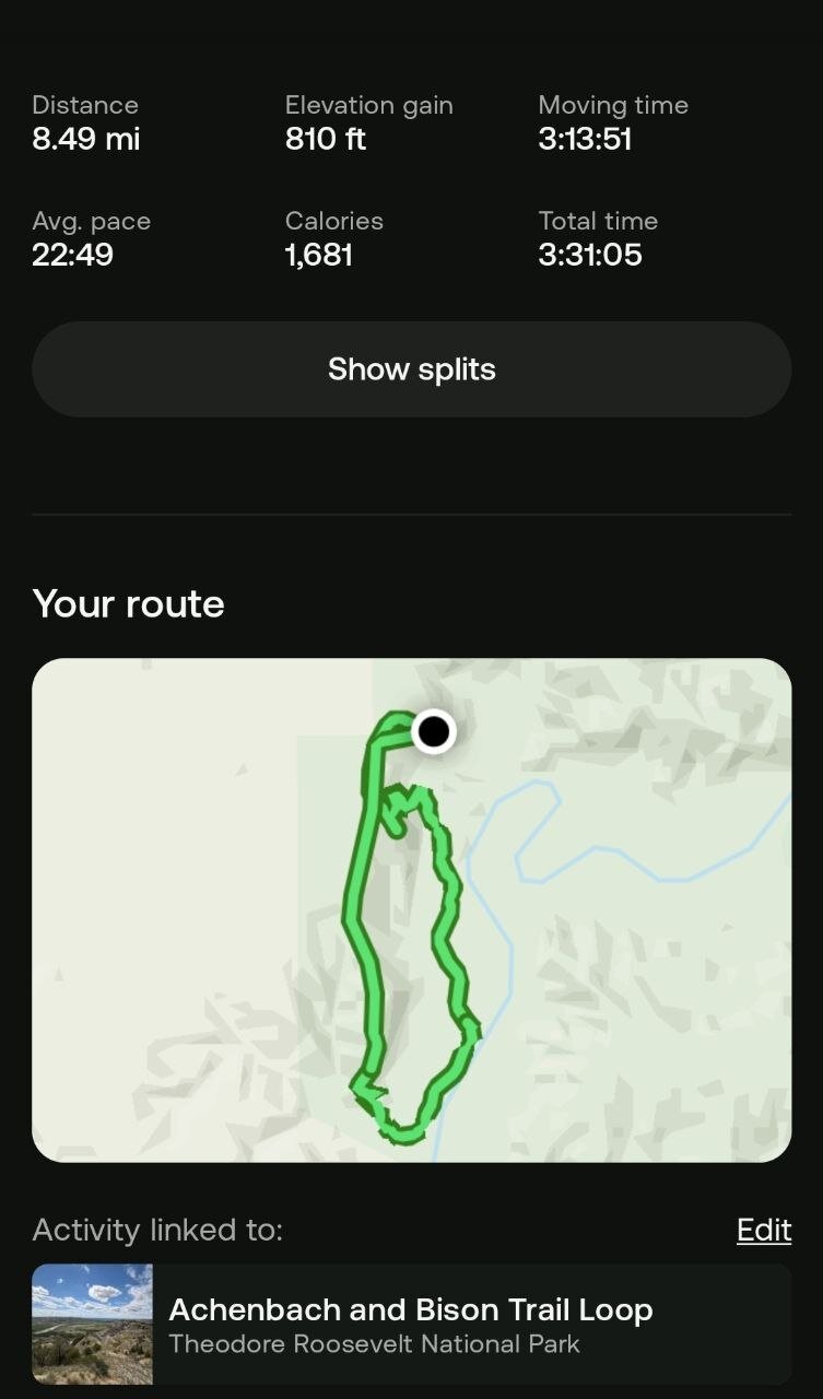 My AllTrails data for the loop.
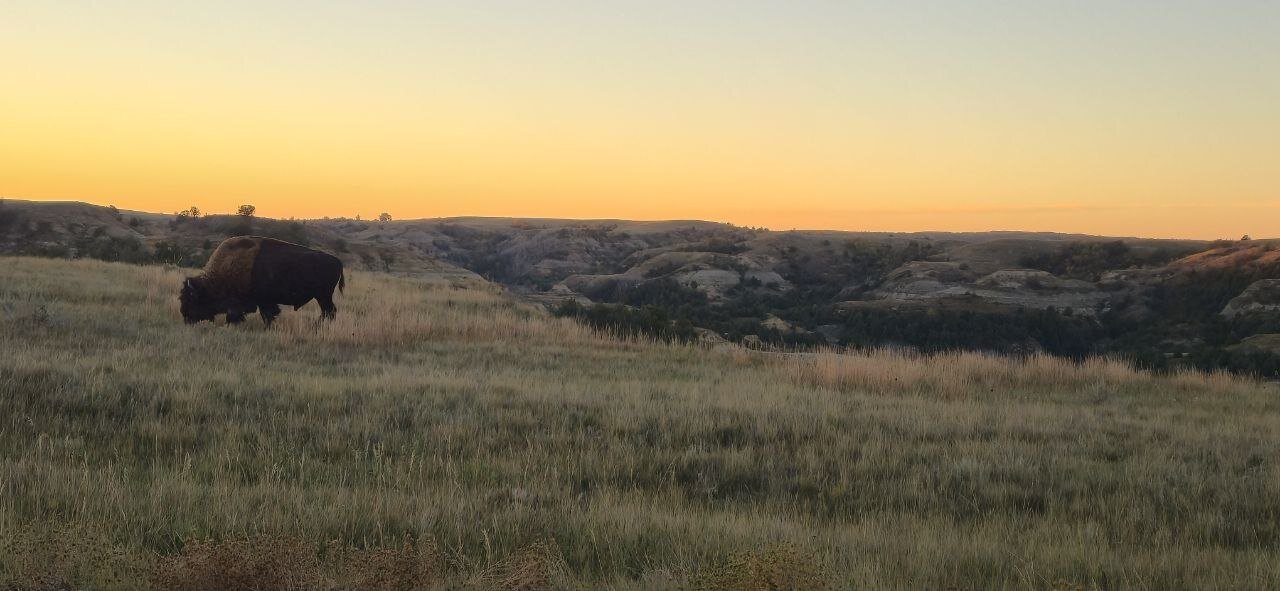 One of the bison I came across along the way.
The Trail Itself
The trail is easy to follow until you get to the bison loop part. At that point you’re going to lose the trail, then find it, then lose it again. It’s not a park-established trail per se — it’s an actual bison trail. It’s there, just no markers pointing it out.
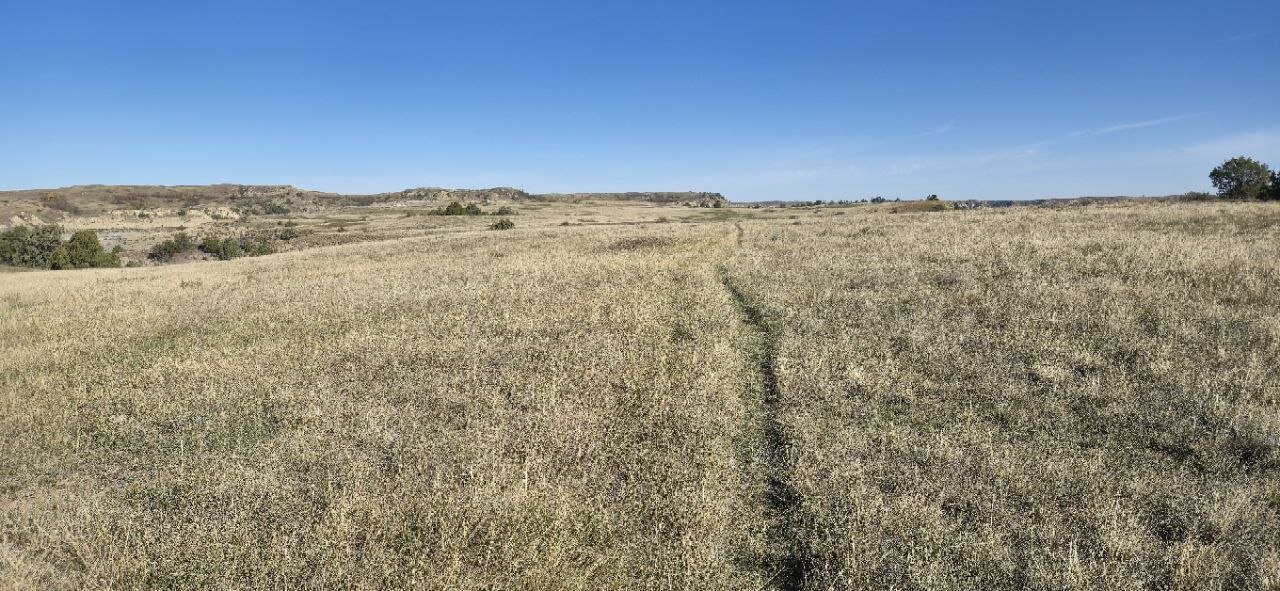 About as much “trail” as you get through the bison loop section — a worn line through the grass, no markers.
It was 8.5 miles that took me 3 hours and 14 minutes, which you can see in my AllTrails data above. A little elevation drop and gain when you drop down to the river valley and then back up. Some great fall colors this time of year and the perfect temps for hiking.
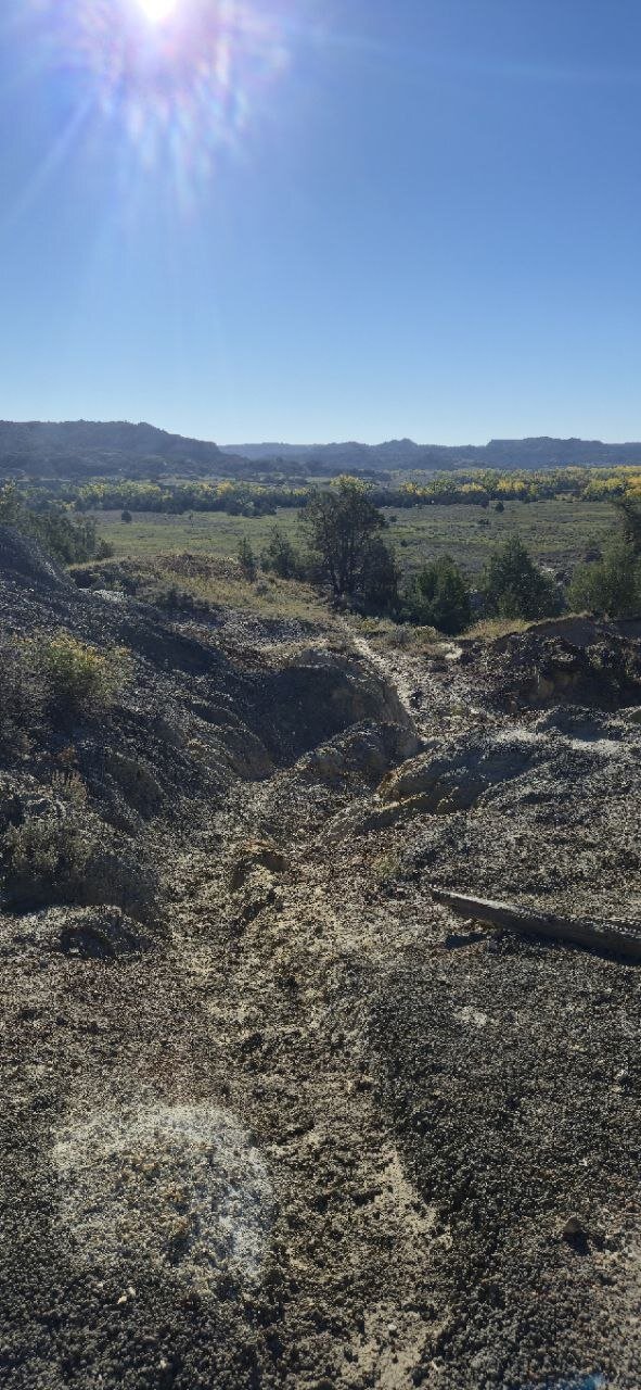 Part of the drop down into the river valley.
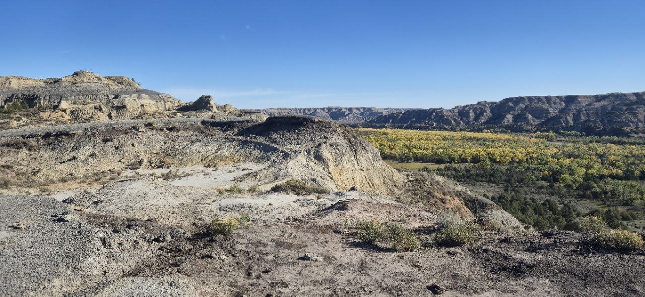 More of the badlands terrain along the way.
This may be my new favorite in the North Unit, just for the isolation of it. I think the odds of seeing someone else out there are slim to none. That being said, it is just you out there, so be prepared — there are rattlesnakes, and if it’s hot out you need to bring enough water. I had cell service most of the time, but running AllTrails I almost killed my phone battery, so it wouldn’t hurt to have a charger with you also.
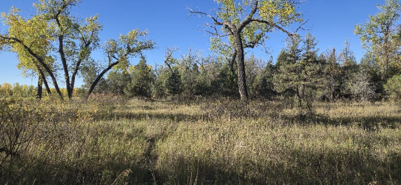 Fall colors starting to come in along the grasslands.
When headed back up to the grasslands from the river bottom on the second half of the trail, you’ll come across several petrified tree stumps. Some of them are really big — I should have gotten a picture next to one for reference, but it was about as tall as me, and I stand 5'8".
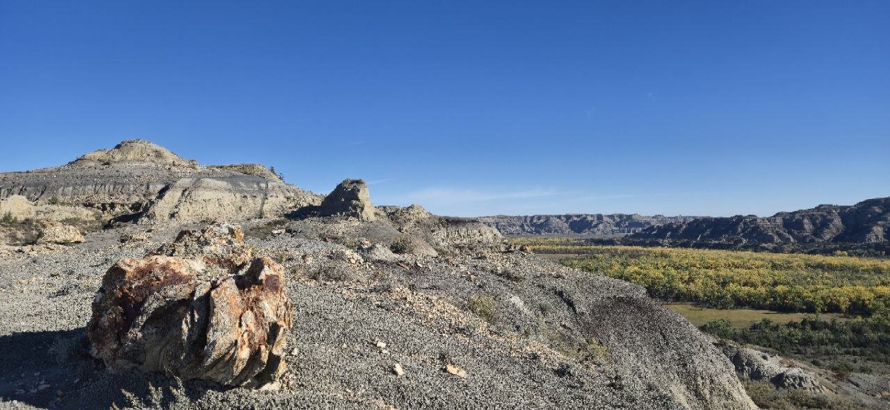 One of the petrified tree stumps along the second half of the trail.
I saw some bighorn sheep tracks on the trail but didn’t see any sheep — maybe next time. I’d also say where the petrified tree stumps are is a great overlook, you can take in a great view of the whole valley.
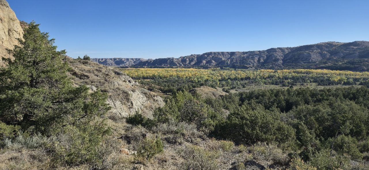 The view from up by the petrified wood — the whole valley laid out below.
As always, happy trails.
— Adam
Get the Sub-10 lb Ultralight Gear Checklist
Join the free PackLite Life newsletter — new gear guides, trip reports, and trail-tested tips — and grab the printable checklist when you sign up. No spam, unsubscribe anytime.